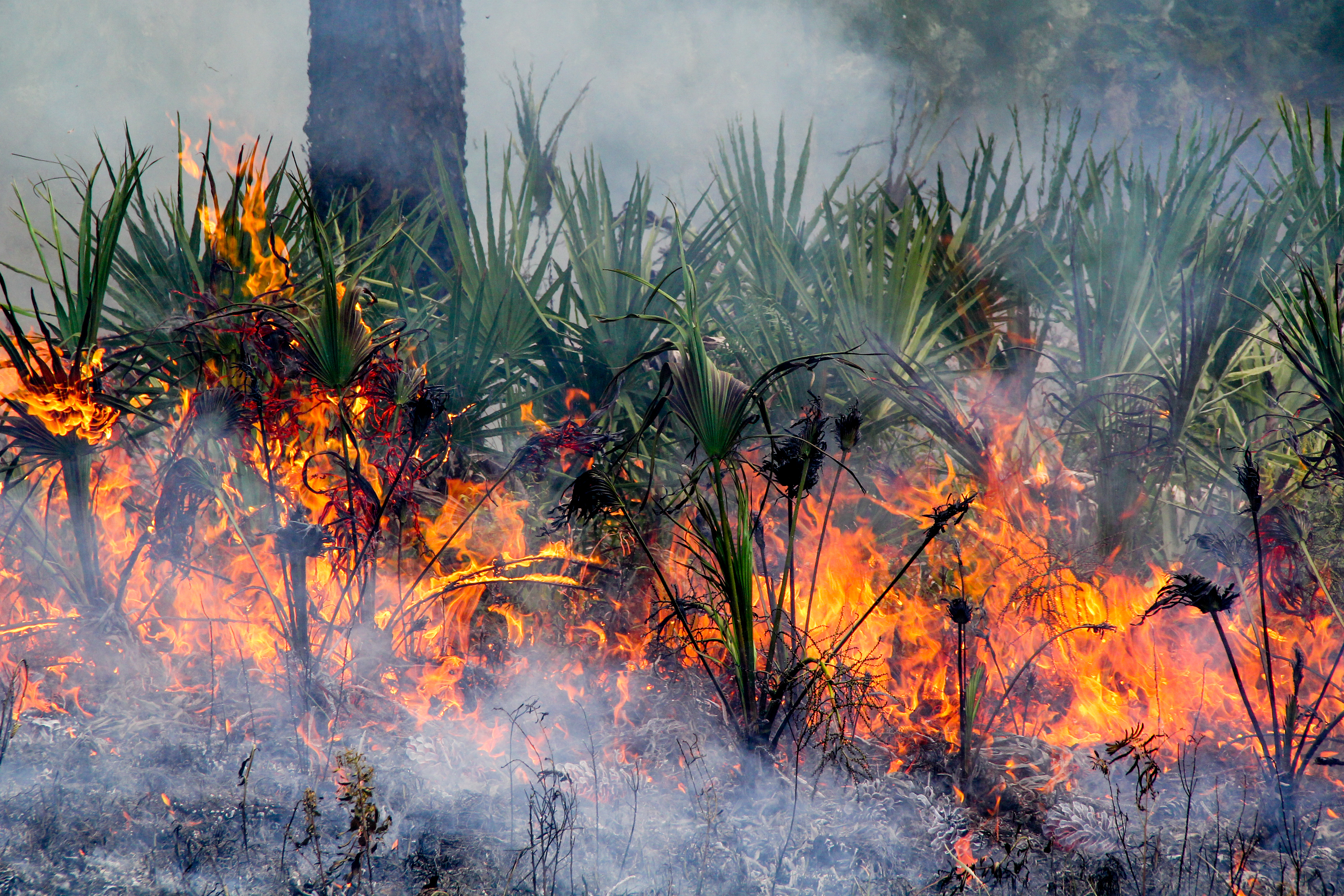
GIS and Mapping
Information related to mapping and GIS in southeastern fire management.
Southern Fire Exchange Archived Webinars
Southern Fire Exchange Archived Webinar
Hot Spots and Hot Moments in Prescribed Fire Across the Southeast US (2024)
Prescribed fire is an important land conservation tool to meet ecological, cultural, and public safety objectives across terrestrial ecosystems. While estimates of prescribed burning in the U.S. exceed 11 million acres annually, tracking the extent of prescribed fire is problematic for several reasons and prevents an understanding of spatial and temporal trends in landscape patterns of prescribed fires. The overall purpose of the Southeastern US Prescribed Fire Permit Database is to temporally map and analyze the frequency of prescribed burns throughout the southeast. The database revealed that burning is highly concentrated within the southeast region, presumably reflecting local land ownership categories and associated land management objectives. These analyses provide the first region-wide summary of fine-scale patterns of prescribed fire in the United States.
Presenter: Karen Cummins, Geospatial Database Administrator, Tall Timbers Research Station and Land Conservancy
Southern Fire Exchange Archived Webinar
Exploring Fire Usage Trends in the SE with the Southeast Fire Map (2024)
The southeastern United States includes a wide range of fire-dependent ecosystems on public and private lands. Across the region, prescribed fire is the dominant form of fire on the landscape and it is used for a wide range of reasons, including ecosystem restoration. In many parts of the region, there are concerns that fire is not frequent enough to support the plant and animal species that depend on fire for their survival. Here, we use the new Southeast FireMap geospatial mapping product and its associated fire history metrics to examine historical fire trends across the southeastern United States region. Our analysis includes breakdowns in fire trends by ownership (public vs. private), land cover type, and soil order for all states within the Southeast FireMap extent.
Presenter: Holly Nowell, Ph.D., Geospatial Lab Director and Assistant Scientist, Tall Timbers Research Station and Land Conservancy
Southern Fire Exchange Archived Webinar
Wildfire and Risk Management in Changing Southeastern Landscapes (2024)
The Southern Region Fire Adaptation project aims to help strategic planning for fire risk management across the southern US. We conducted a comprehensive assessment of wildfire risk considering current conditions and future changes in climate and forests. This assessment helps identify areas where managing fuels can reduce risks and enhance resilience. We’ve created various spatial data products showing where wildfire and smoke risks are highest and where tools like prescribed fire can be most effective. An online StoryMap collection serves as a guide to these data products.
Presenter: Lars Pomara, Ph.D., Southern Research Station, USDA Forest Service Nick Gould, Ph.D., ORISE Postdoctoral Scholar, USDA Forest Service Sandhya Nepal, Ph.D., ORISE Postdoctoral Scholar, USDA Forest Service
Southern Fire Exchange Archived Webinar
Increasing Large Wildfires in the Eastern United States (2024)
This webinar provides an overview of changing large wildfire regimes in the eastern U.S., highlighting increasing wildfire number, size, and total area burned within regions of the southeast. In addition, the presentation will discuss how changing wildfire dynamics impact public wildfire risk in the wildland-urban interface. This presentation will summarize the findings from a recent publication (https://doi.org/10.1029/2023GL107051).
Presenter: Dr. Victoria Donovan, Assistant Professor of Forest Management, School of Forest, Fisheries, and Geomatics Sciences, University of Florida IFAS | West Florida Research and Education Center
Southern Fire Exchange Archived Webinar
A Prescribed Burners Guide to the Fire and Smoke Map (2024)
Prescribed burners can efficiently utilize the EPA Fire and Smoke Map to enhance their burning practices. The map provides real-time information on fire and smoke conditions across different regions. Burners can use it to assess the current air quality and regional smoke movement. By incorporating this information, prescribed burners can strategically plan and time their burns to minimize the impact on air quality and public health. The map allows them to make informed decisions, ensuring safer and more effective prescribed burns while supporting compliance with environmental regulations.
Presenter: Pete Lahm, USDA Forest Service Sim Larkin, Ph.D., USDA Forest Service Rick Gillam, EPA Region 4
Southern Fire Exchange Archived Webinar
FireHydro: Mapping South Florida Daily Fire Risk Using Fuels, Water Levels, and Burn History (2023)
Mapping fire risk at a landscape scale in South Florida depends on spatially varying water levels, fuel characteristics, and topography. When surface and near-surface water levels recede below the lowest topographic features (strands, marshes, etc.), the ecosystem loses its natural, wetted fire breaks. We developed a data-driven spatial method to generate daily, categorical fire risk maps; the maps visualize low-to-high risk areas and enable fire managers to both effectively execute prescribed burns, as well as efficiently staff the landscape during high fire risk.
Presenter: Kate Jones, PhD Candidate, Center for Geospatial Analytics at NC State University
Southern Fire Exchange Archived Webinar
LANDFIRE Remap in the Southeast (2020)
LANDFIRE Remap is a multi-year effort to improve the usability of the product suite by recreating base LANDFIRE products using new plot information, new imagery and production techniques. In this webinar, Jim Smith, TNC LANDFIRE Program Lead, reviewed LANDFIRE product offerings, described what has changed, what has not changed from previous versions, and provided information on future program plans, all from the perspective of a user in the Southeast US.
Presenter: Jim Smith, TNC LANDFIRE Program Lead
Southern Fire Exchange Archived Webinar
Advancement of Smoke Emissions Models Utilizing Geospatial and Remote Sensing Data
In this webinar Joe Roise of the North Carolina State University, Siamak Khorram of the University of California, Berkeley, and Duncan Lutes with the USDA Forest Service presented an introduction to interdisciplinary research that seeks to improve wildland fire smoke emission model estimates using remote sensing estimates of wildland fire burn severity. The goal of this research is to provide better emissions information related to prescribed fires and wildland fires.
Presenters: Joe Roise of the North Carolina State University, Siamak Khorram of the University of California, Berkeley, and Duncan Lutes with the USDA Forest Service
Southern Fire Exchange Archived Webinar
Customizing Data – Leveraging LANDFIRE for the Southern Wildfire Risk Assessment
In this webinar, presenters Curt Stripling and David Buckley explain the Southern Wildfire Risk Assessment (SouthWRAP) project and how free LANDFIRE data were customized to better represent fuel conditions across the southeastern U.S.
Presenters: Curt Stripling and David Buckley
Southern Fire Exchange Archived Webinar
GIS Migration from Desktop to Web
In this webinar Justin Shedd of the North Carolina State University presented a review of various methods for managing and sharing GIS data using internet-based GIS platforms.
Presenter: Justin Shedd of the North Carolina State University
Southern Fire Exchange Archived Webinar
LANDFIRE Assessing Needs – Understanding Recent and Potential Threats
Presenter Jennifer Costanza presents summaries of two LANDFIRE research applications that assessed threats to Southeastern US ecosystems.
Presenter: Jennifer Costanza
Southern Fire Exchange Archived Webinar
LANDFIRE 101
In this webinar, Randy Swaty, an Ecologist with The Nature Conservancy, discusses the basics of LANDFIRE data use and access with examples from the southeastern U.S.
Host: Southern Fire Exchange and LANDFIRE
Southern Fire Exchange Archived Webinar
LANDFIRE in the Southeast
TNC LANDFIRE program manager Dr. Jim Smith introduces the LANDFIRE program and provides some information about the limitations and appropriates applications of the GIS spatial datasets.
Presenter: Dr. Jim Smith
LANDFIRE Remap in the Southeast (2020)
LANDFIRE Remap is a multi-year effort to improve the usability of the product suite by recreating base LANDFIRE products using new plot information, new imagery and production techniques. In this webinar, Jim Smith, TNC LANDFIRE Program Lead, reviewed LANDFIRE product offerings, described what has changed, what has not changed from previous versions, and provided information on future program plans, all from the perspective of a user in the Southeast US.
Click here for the webinar slides
Click here to view the archived webinar
Advancement of Smoke Emissions Models Utilizing Geospatial and Remote Sensing Data
In this webinar Joe Roise of the North Carolina State University, Siamak Khorram of the University of California, Berkeley, and Duncan Lutes with the USDA Forest Service presented an introduction to interdisciplinary research that seeks to improve wildland fire smoke emission model estimates using remote sensing estimates of wildland fire burn severity. The goal of this research is to provide better emissions information related to prescribed fires and wildland fires.
Click here to view the archived webinar
Customizing Data – Leveraging LANDFIRE for the Southern Wildfire Risk Assessment
In this webinar, presenters Curt Stripling and David Buckley explain the Southern Wildfire Risk Assessment (SouthWRAP) project and how free LANDFIRE data were customized to better represent fuel conditions across the southeastern U.S.
Click here to view the archived webinar
GIS Migration from Desktop to Web
In this webinar Justin Shedd of the North Carolina State University presented a review of various methods for managing and sharing GIS data using internet-based GIS platforms.
Click here to view the archived webinar
LANDFIRE Assessing Needs – Understanding Recent and Potential Threats
Presenter Jennifer Costanza presents summaries of two LANDFIRE research applications that assessed threats to Southeastern US ecosystems.
Click here to view the archived webinar
LANDFIRE 101
Host: Southern Fire Exchange and LANDFIRE
In this webinar, Randy Swaty, an Ecologist with The Nature Conservancy, discusses the basics of LANDFIRE data use and access with examples from the southeastern U.S.
Click here to view the archived webinar
LANDFIRE in the Southeast
TNC LANDFIRE program manager Dr. Jim Smith introduces the LANDFIRE program and provides some information about the limitations and appropriates applications of the GIS spatial datasets.
Click here to view the archived webinar
Other useful archived webinars on this subject
ArcFuels and ArcGIS – Wildfire Lessons Learned Center
Host: LLC-JFSP-IAWF
Nicole Vaillant shares information about ArcFuels, which was designed to streamline the fuel management planning process and provide tools for quantitative wildfire risk assessment.
Click here to view the archived webinar
Innovative uses of Monitoring Trends in Burn Severity (MTBS) Data at Grand Canyon National Park
Host: LLC-JFSP-IAWF
Eric Gdula, Fire GIS Specialist with the National Park Service, shares several examples of how of Grand Canyon National Park uses burn severity data provided by the MTBS program for pre-fire planning, at the inception of fires, during protracted events, and post-fire analysis.
Click here to view the archived webinar
Introduction to FlamMap5
Host: LLC-JFSP-IAWF
FlamMap is a fire behavior mapping and analysis program. In this webinar, Chuck McHugh introduces new features within FlamMap5, how to navigate the program, and where to access the program and supporting documentation.
Click here to view the archived webinar
LANDFIRE Total Fuel Change Tool
Host: Southwest Fire Science Consortium
Tobin Smail and Charley Martin, US Geological Survey, provide an overview of the LANDFIRE Total Fuel Change Tool, which allows users to edit LANDFIRE fuels attributes and associated layers directly with an ArcMap Toolbar.
Click here to view the archived webinar
Landscape Treatment Designer: A Multicriteria Optimization Tool for Fuel Treatment Planning
Host: LLC-JFSP-IAWF
Alan Ager provides an overview of the Landscape Treatment Designer (LTD)—a multicriteria spatial prioritization and optimization system to help design and explore landscape fuel treatment scenarios. This program can be used in a number of ways to explore treatment priority and decision rules for small to large (1 million ha) landscapes.
Click here to view the archived webinar
Mobile Technologies in Fire and Aviation Management
Host: LLC-JFSP-IAWF
Esther Godson, who works at Missoula Technology and Development Center, discusses the use of mobile technology in wildfire management.
Click here to view the archived webinar
Monitoring Trends in Burn Severity (MTBS): Project Overview and Data Access
Host: LLC-JFSP-IAWF
Josh Picotte, Fire Specialist with the USGS EROS program introduced the Monitoring Trends in Burn Severity program (MTBS). MTBS provides free burn severity data derived from Landsat images that can be used in GIS and Google Earth applications. Josh discussed the current and future methods used to derive the burn severity datasets as well as several examples of applications of the data in the southeastern US.
Click here to view the archived webinar
Online Mapping and Spatial Resources for the Private Landowner
Host: Forestry & Natural Resources Webinar Portal
Presenter John Gilbert provides an overview of a booklet produced by Auburn University to compile information and examples of online mapping and spatial resources for forest landowners and managers.
Click here to view the archived webinar
Online Mapping Tools for the Natural Resource Professional
Host: Forestry & Natural Resources Webinar Portal
James Jeuck, Forestry Extension Associate with NC State University presents this 4-part webinar series to help natural resource professionals become familiar with important sources of online mapping tools and data without the need for a complex GIS program.
Click here to view the archived webinar
Soil Mapping: An Overview
Host: Forestry & Natural Resources Webinar Portal
Ed O’Brien shares an overview of the mechanics and principals that surround soil mapping, by providing scenario-based instructions on how to read, interpret, and act on the data contained in these models.
Click here to view the archived webinar