Webinar: Social Acceptance and Communication Strategies for Wildland Fire Management
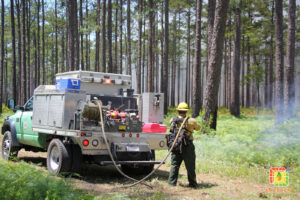
Watching a prescribed fire demonstration in Gainesville, Florida. © Brian Wiebler PANEL DISCUSSION Hosted by: Fueling Collaboration Partners Date: Thursday, February 20, 2025 from 11:00 AM to 12:30 PM ET