Fire News
New Fire Lines Newsletter (vol. 15 is. 2)
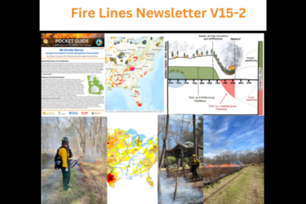
New Fire Lines Newsletter: Volume 15, Issue 2 The latest issue (Volume 15, Issue 2) of the Southern Fire Exchange “Fire Lines” newsletter has been archived! This edition is
New Fire Lines Newsletter: Volume 15, Issue 2 The latest issue (Volume 15, Issue 2) of the Southern Fire Exchange “Fire Lines” newsletter has been archived! This edition is
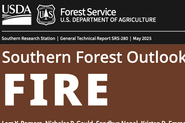
New Southern Forest Outlook Focused on Fire The USDA Forest Service Southern Research team recently released the Southern Forest Outlook Fire report (published 2025). The report is a regional analysis
Host: US EPA Description: Wildfires are a major source of poor air quality across the U.S. This webinar will showcase two tools to help state, local, and tribal air quality
Host: Northern Rockies Fire Science Network, the USDA Forest Service Missoula Fire Lab, and the Joint Fire Science Program. Co-hosted by: California Fire Science Consortium, Lake States Fire Science Consortium, Great
Host: Northern Rockies Fire Science Network, the USDA Forest Service Missoula Fire Lab, and the Joint Fire Science Program. Co-hosted by: California Fire Science Consortium, Lake States Fire Science Consortium, Great
Host: the Southern Fire Exchange, the University of Florida IFAS, and the Joint Fire Science Program. Speaker: Dr. Seth Hawkins, University of North Carolina at Charlotte Description: This webinar shares original ethnographic research
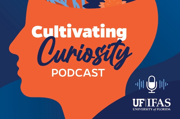
New Fire Ecology Podcast Featuring Dr. Raelene Crandall The Cultivating Curiosity Podcast hosted by the University of Florida IFAS spoke with Southern Fire Exchange principal investigator Dr. Raelene Crandall on
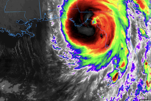
Understanding Hurricane Impacts Updated 5/12/25 This page will continue to be updated as new resources become available. × As communities and natural resource managers work to rebuild following Hurricane Helene,
Watching a prescribed fire demonstration in Gainesville, Florida. © Brian Wiebler PANEL DISCUSSION Hosted by: Fueling Collaboration Partners Date: Thursday, February 20, 2025 from 11:00 AM to 12:30 PM ET
Presented by: Dr. James Martin, University of Georgia Hosted by: Oak Woodlands and Forests Fire Consortium and Southern Fire Exchange Date: January 7, 2025, 2:00 – 3:00 PM ET Register